Featured Maps and Applications

Use our online maps and applications for easy access to community information.

Resident Representation

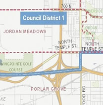
This map depicts boundary lines for City Council Districts and recognized neighborhood-based community organizations.

Details Open

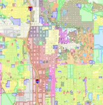
Zoning Lookup Map

Use this map to identify zoning for property located within Salt Lake City.

Details Open

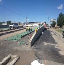
Engineering Projects and Permits Information Map

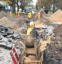
This map displays programmed design and construction projects and permitted work in the public right of way.

Details Open

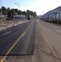
Engineering Pavement Condition Map

This map displays estimated pavement condition ratings of roadway segments in Salt Lake City.

Details Open

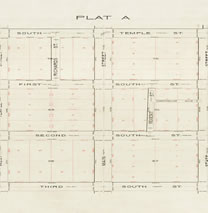
Engineering Atlas Plat Index

An Atlas Plat is a map depicting the subdivisions of land within the City. Use this map to locate, view, and download an Atlas Plat.

Details Open

Engineering Excavation Restriction Map

This map displays established and future excavation restrictions on infrastructure in the public right of way.

Details Open

Public Art Map Tour

An interactive map for exploring Salt Lake City's extensive collection of public art.

Details Open

GIS Open Data Portal

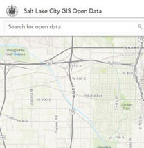
Use our GIS portal for discovering and accessing Salt Lake City managed GIS data.

Details Open

mySLC Mobile / Service Requests

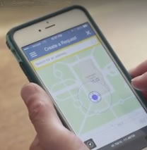
mySLC Mobile is a multi platform solution for providing access to a set of local government-provided services, 24-hours a day, 7 days a week.

Open

Looking for Salt Lake City GIS Data?

In an effort to improve access to Salt Lake City-managed GIS data, Salt Lake City Geographic Information Systems is developing an Open GIS Data Portal to distribute Salt Lake City GIS data. Our objective is to provide easy and efficient access to spatial data in several formats and services.